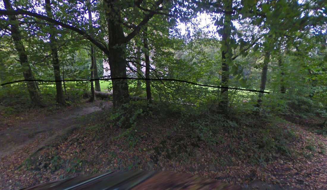
Once I finished the building I moved onto creating the landscape. After some extensive research into the surrounding landscape around King Alfred's tower, I could not find any substantial amount of images or data regarding the landscape. The most I could find was through using Google street view where I could see some elevations in the area directly underneath the tower. I marked with a black line the roughly where the elevation is.
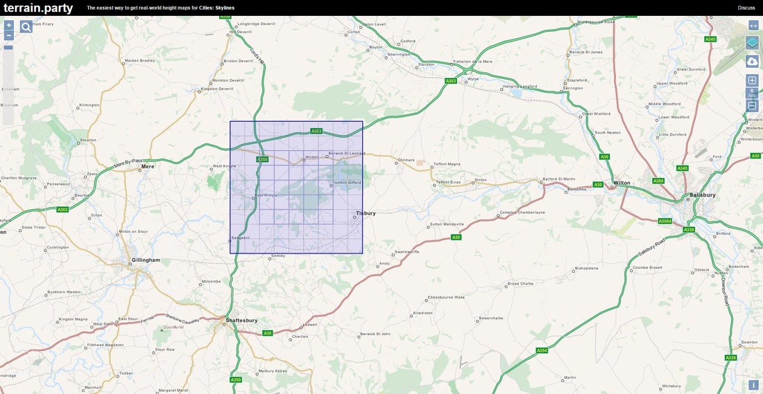
While gathering information on landscape around the tower, I came across a tool which allowed me to create hieghtmaps based on real world locations. The tool was originally created to allow users to import heightmaps created from real world locations into "City Skylines". Upon using the tool I quickly noticed that the scale was way beyond what I needed with the minimum heightmap size being 8km*8km. Although is unsuitable for my needs I tested out the tool, as I could delete unnecessary parts in 3ds and try to fine tune the heightmap. I tried placing the 8km square in a fashion that the centre 1km square would be around the tower.
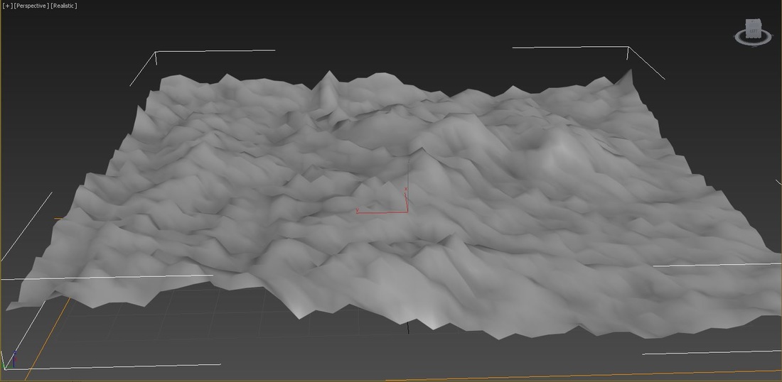
When I tried importing the heightmaps this tool created into 3ds max it left me with a very bumpy landscape unusable landscape. This is most likely due to this too being aimed towards creating vast landscapes for the "City Skylines" which would generally use flat areas for city building rather than a forest region. This test showed me that this tool would be unsuitable for my project as my landscape as the end result is far from reality. This means that had had two options continue to research the area surrounding the tower possibly conducting primary research or I would have to approximately create the area.
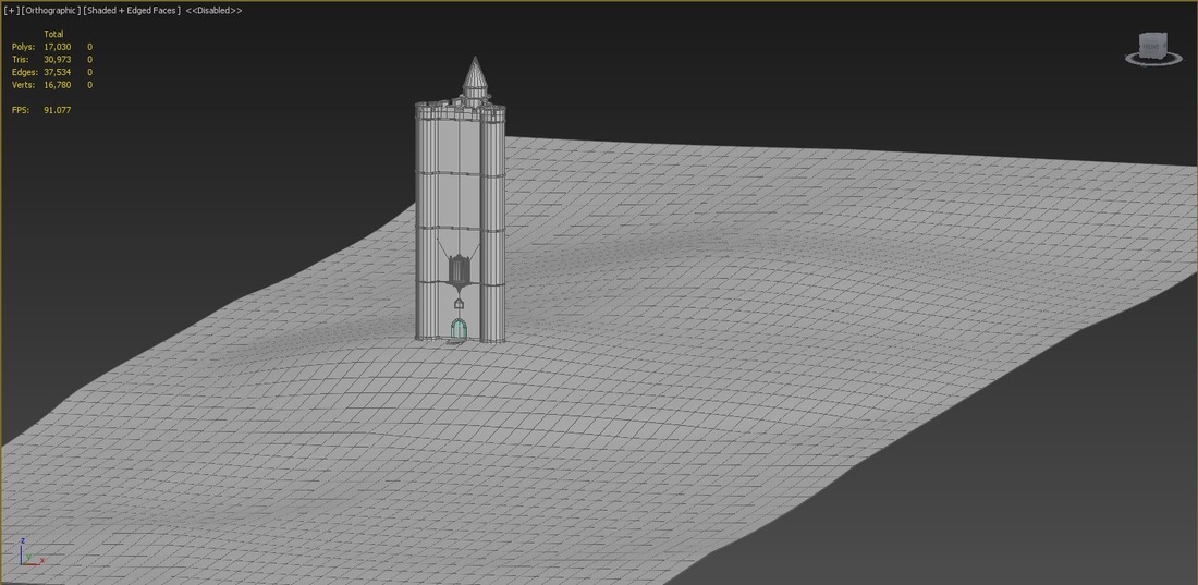
After considering my options I decided that i would need to approximate the landscape as the information and images surrounding the tower is too sparse and considering my time constraints visiting the area would take valuable time. With only the small elevation beneath the tower the only piece of information I had, I tried to create a believable landscape using some low and high areas around the tower. I specifically made the landscape narrower due to the either side being blocked off with forests which allows me to lower the polycount slightly. In my opinion this is a part of the project could be majorly improved upon for various reasons. The most glaring one would be that this is created with some guesswork, ideally I would've gathered primary research to allow the most accurate representation of the site in my trailer. If I was able to gather primary research for this site, I could've been able to create a much more accurate landscape rather than using the few images from Google street view and some guess work.
 RSS Feed
